
For hiking, climbing and nature lovers, Mikuradake Nature Park is a must.
Just a few kilometres west of Hiroshima, traffic is moving at a snail’s pace along Route 2, the coast-hugging highway that runs over 530 kms from Osaka to Kitakyushu, down in Fukuoka Prefecture. We’re approaching Miyajima-Guchi – the ferry terminal for the mystic island of Miyajima, where the maple trees are at their fiery autumnal best.
Indeed, even from here, on the other side of Hiroshima Bay, you can see plumes of vivid red standing out against the dark green of Mt Misen, Miyajima’s highest peak. Hence the tailback, as an endless line of day-trippers queues up to make the maple-viewing pilgrimage to the island.
We leave them behind and keep heading west in search of Mikuradake Natural Park and the legendary mountain that gives the park its name. Mikuradake Mountain is known locally as Sanbonyari (literally, Three Spears), a reference to its three sharp-pointed peaks: Yuhidake (695 m), Nakadake (665 m) and Asahidake (645 m).
It lies deep in rural Hiroshima, and has long been popular with day-trippers, hikers and campers in search of a connection with nature. And there is no better time to explore Japan’s countryside than on a sun-filled autumn day like this.
Back on Route 2, once past Miyajima-Guchi the traffic is flowing freely again. A few kilometres later, a sharp right turn leads into glorious open country. Here and there, red iron bridges stand out against the evergreen foliage of the surrounding hills.
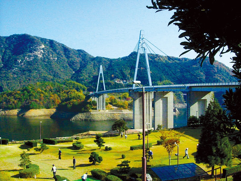
Things get even better when the short but splendid Yasaka Bridge looms ahead, taking you across Yasaka Dam. This large man-made lake is officially listed as one of Japan’s 100 Best Reservoirs. Alongside the dam lies one of those welcome rest-stops that abound in Japan, offering tourist information, public toilets, panoramic views of the long lake, and even a little udon noodle restaurant.
Nearby, a group of older people laugh as they play golf on a pitch-&-putt course. You can also camp here, take a boat out on the lake, or follow endless hiking trails into the surrounding mountains, which at this time of year are a flaming mass of reds and golds and oranges. With so much fun to be had, one makes a mental note to return and spend a whole day here before the winter sets in.
But today it’s time to get back on the road, which soon takes us into Mikuradake Natural Park. The three famous peaks tower over the landscape, beckoning, challenging. True to their name of Three Spears, they look like three giant Stone Age spearheads. You can’t help but stop and gaze up in awe at the sight.
At the foot of the peaks, you follow the signs to the parking area and information lodge, built in rustic log-cabin style. A sign outside the lodge requests climbers to leave their details at reception (name, mobile phone number, etc). If you’re not back by closing time, you’re likely to get a call to check where you are. “In recent years, it’s become known as a rock-climbing spot, and climbers come from far and wide in search of Mikuradake’s rocky peaks,” says Maiko Awane, Deputy Director of Hiroshima Prefectural Government’s Tokyo Office.
The trail up to the top begins gently enough, passing through a dense forest of maples, pines and cedars. Among the trees, it’s suddenly dark and cool after the glaring sunshine back in the clearing. The path is carpeted with blood-red maple leaves as the cooler temperatures here in the mountains cause the maple leaves to turn red and fall a couple of weeks earlier than back down in the lowlands.
Among the trees, you’ll notice a little campsite with individual camping places dotted at a discreet distance from one another. At each one, there’s a rectangle of packed raised earth for your tent, a wooden table and a pair of benches. It’s deserted at this late stage of the year, but looks like it’d be a lovely place to come in warmer months. Signs warning you to beware of bears and how to avoid attracting them (like not leaving food outside, for example) add a little extra frisson of excitement.
As the trail progresses, the only sounds you hear are birds bobbing and tweeting in the trees, and some unidentified rustling in the undergrowth. Thankfully there’s no sign of any bears.
If you’re not the climbing kind, the joy of indulging in some deep forest bathing in such idyllic surroundings, coupled with the stunning views of the peaks, is more than enough to make the trip worthwhile.
For those intent on making it to the top, the recommended path is up Route B and down Route A. Apart from being the easiest option, this way also takes you to all three peaks. As you press on through the thick forest, the path quickly gets very steep. However, with typical Japanese consideration, instead of leaving you alone to get on with it, convenient metal chains and rungs have been thoughtfully stuck into the rocks to help you pull yourself up the hardest parts. Even so, be prepared for some vigorous scrambling and scrabbling up steep, tricky terrain.
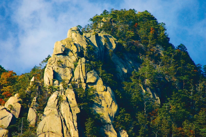
Near the top, the three massive rocky peaks pierce through the vegetation. The sight of these sheer stone cliffs makes it easy to see why dedicated rock climbers come here to do some serious climbing. Once you’re above the tree line, the panoramic views of the surrounding countryside are quite breath-taking. On a clear day, you can see beyond Miyajima, looking tiny as it floats in the sparkling sea, all the way to Shikoku and Kyushu.
Cantering back down the countless stone steps, one arrives back at the car park by late afternoon, far too early to consider heading home. A good moment, then, to check out the intriguingly named Marron no Sato (Chestnut Village), just 3 or 4 kms away. It’s advertised as “an exchange facility between urban and rural areas”. In other words, a place where city folk can come and try country fare. In practice, this means a kind of rest stop that combines a produce store, restaurant, garden and even a riverbank to explore.
The store brims with local goodies – rice, vegetables, mushrooms, persimmons, even powdered chrysanthemum seasoning. But, as the name suggests, the chestnut is the star of the show, particularly at this time of year when great quantities of them have just been harvested hereabouts. In the store you’ll find all manner of chestnut-based goodies – chestnut jams, chestnut cakes, chestnut sweets. Over in the restaurant, you can order dishes featuring chestnut rice and local wild vegetables from the mountains.
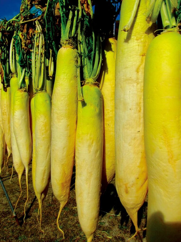
Finally, on the way home to Hiroshima, a little detour takes you to Watanose Dam, another reservoir with a tree-crowned island in the middle. From there, narrow twisty roads lead you through dense woodlands of bamboo and pine that come right down to the river’s edge in the darkening evening. Tall mountains block out the setting sun, making it all feel a bit cold and lonely. There’s no traffic, and hardly any signs of human life, except for a few scattered country houses, with daikon radish and persimmons hanging up to dry outside. In this hushed darkness, a small group of elderly folk emerge by a rustic torii gate for some kind of Shinto festival.
Back on Route 2, a full moon – huge and yellow – beams down on Miyajima. The silhouette of sacred Mt Misen looms dark and mysterious over the island. The day-trippers have all returned home. And in the primeval forest night, the island has once more become the realm of the Shinto gods.
Steve John Powell & Angeles Marín Cabello
Follow us !
Related posts:
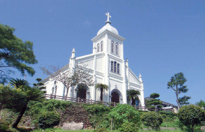 No8 [Travel] Amakusa, welcome to paradise
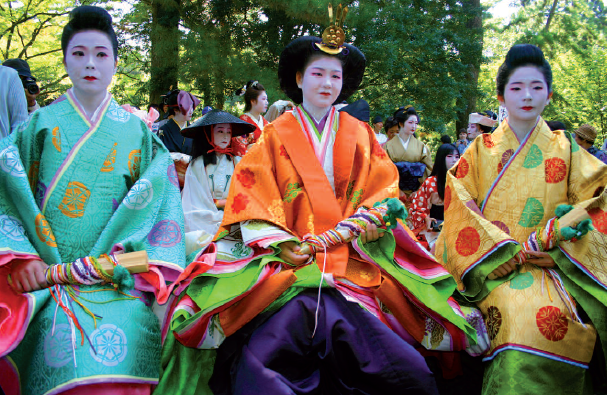 No18 [Travel] Meeting the soul of Kyoto
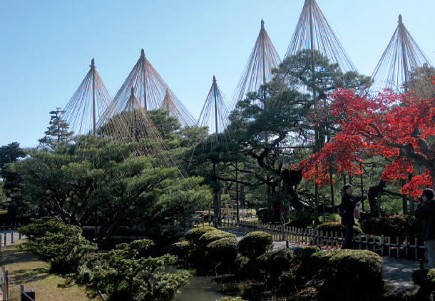 No29 [Travel] A little jaunt to Kanazawa
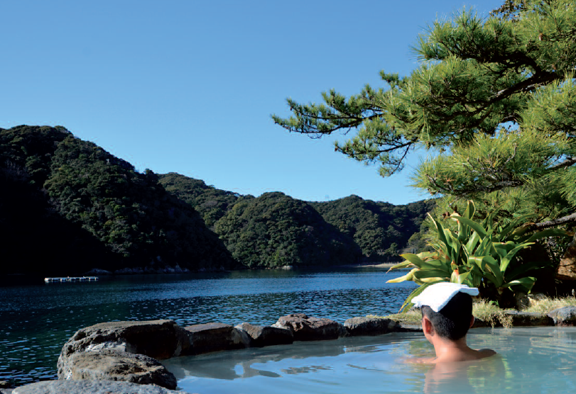 No34 [Travel] The incredible Kii Peninsula
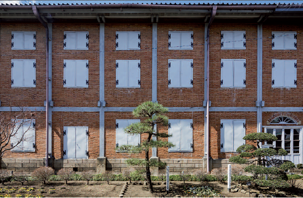 No36 [Travel] Tomioka, a taste of France
 No41 [Travel] Nara and Kyoto, food and drink (1/2)
 No69 [DISCOVERY] As wild as you could wish
 No.97 [TRAVEL] In the footsteps of Prince Shotoku
 No.101 [TRAVEL] In Iwate, rendez-vous with history